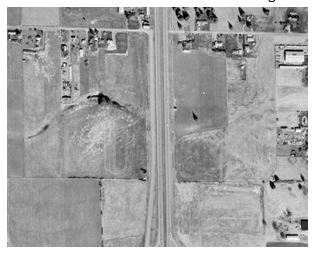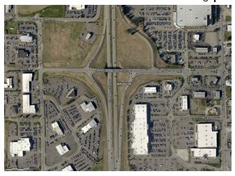
1969 Aerial
Central Services | GIS
Skagit County publishes 1969 aerial photos online
Skagit County is excited to be releasing aerial photography captured 45 years ago. The imagery is available to view through the county’s online web map tool called iMap and also can be acquired by providing a hard drive for the raw files to the GIS department.
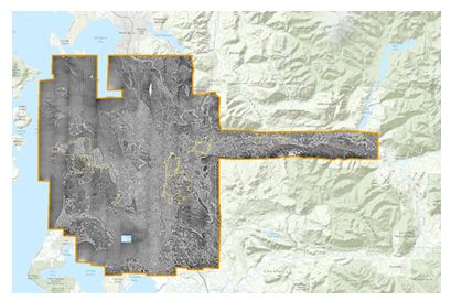
The Seattle based company Walker and Associates had recently been purchased by a national firm and before the negatives were packed up and left the region we were able to have them scan the originals. The used a special processes for cleaning off the dust and high resolution scanners that can scan at 12 micron resolution. In addition they have tiled all the images together and geo-referenced them to overlay on our current imagery and data. This makes it easy to click back and forth between different time periods of aerial images.
The 1969 imagery is available digitally by contacting the GIS department, filling out a liability form and arranging to bring in a portable hard drive.
Comparison of George Hopper Exit in Burlington